6.1.04 Hadrian’s Wall Walk: Haltwhistle
![]()
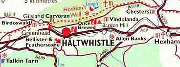
Location: On the north side of the South Tyne River (or) in the Center of Britain!
Actual Centre of Britain: Yep. It’s equidistant to all main main compass points in England, Wales, Northern Ireland and Scotland.
Population: 3,800
What’s a Haltwhistle? They’re very proud of their train station — so proud, that’s why it’s called “haltwhistle,” which means “river junction by a hill.”
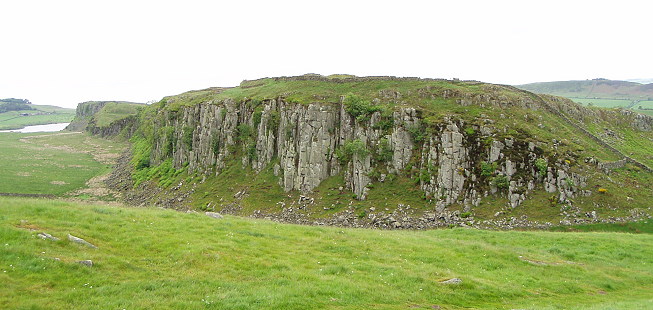
Gettin’ craggy
When I first planned my trip, I figured I was going to be battling the elements at some point. After all, this was England. In late May/early June. And it wasn’t London, this was North England. When I saw the temps would likely be in the mid 50s to mid 60s, that sounded as if it could be cold. When it said it was raining, I braced myself for at least one day of walking in the rain.
The good news was that I had more days of beautiful sun than I expected – since I expected none – and it turned out that the cold part wasn’t an issue; you start walking for hours at a good clip and sweat is the issue, not cold. The bitch is … walking in the rain. For hours. With no place to pause for shelter.
The day started out well enough. I walked down to my starting point with the threesome from the night before; they turned off to get a bus so they could walk backwards and end up further West than when they started the night before, which meant we’d be running into one another on the trail at some point.
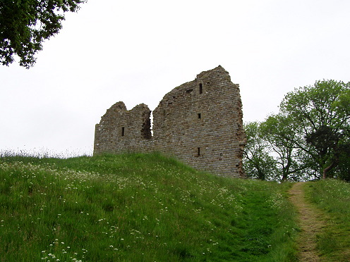
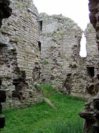
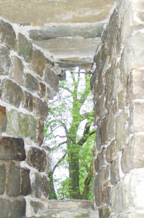
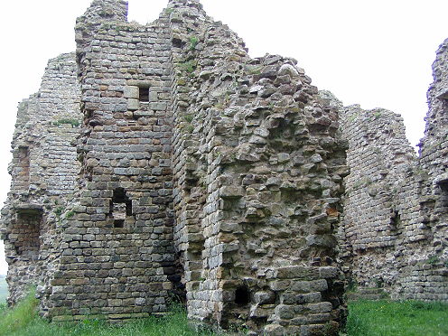
I cut up to the east and immediately landed at Thirlwall Castle, which is one of the dozens of crumbling old places around the country, and utterly unremarkable if you live there, but pretty amazing if you’re not from the area. It wasn’t raining yet, just cloudy and gloomy, and I did some exploring.
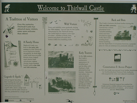
- Welcome to the castle
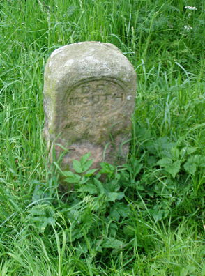
- Thing of which I am unsure
- Castle wall exterior
- Castle ruins
- Capturing the castle
- Thirlwall with a view
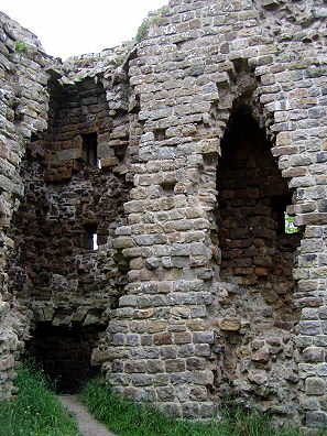
- More ruins
In the 14th century, this was the mansion in the hills, and held John Thirlwall and family. Border raids brought it low in the next century, and at one point it was rumored that a family hid a gold table in a well underground to protect it from thieves – but it has never been found. I’m fascinated by the idea of a gold table. Like, for what? And you don’t exactly see those turning up on Antiques Roadshow. But anyway, it’s a rumor. Needless to say, I didn’t find it.
General Atmosphere (of town): Friendly!
Wall Seen: More than necessary
Fog seen: More than necessary
Hissy Fits Had: 1
There was also a stop at the Roman Army Museum, which was a nice diversion (and it wasn’t raining yet) but overall didn’t tell me much I hadn’t already seen. I did learn more about Roman troops, which included a lot of foreign armies (Syrian archers, for one), and that Roman soldiers couldn’t marry until after their tour of duty – 25 years! – was up. I swear, we’re all such babies compared to Back In The Day. That was tough-ass work, being in the Roman Army. So. I hung out there a bit but knew I had to get moving, and figured since I wasn’t hungry, I’d eat elsewhere – but shortly after leaving the museum it began to rain, and it became clear that the spaces to stop and rest or stop and pee or stop and be educated had completely tapered off. I had a brief rest on a bench in the on-off rain to have a bad sandwich made where I’d stayed the night before. Birds hung out and hoped for the best; I was already getting cranky and decided to just slog forward. As I passed around a lake a group of people had stopped to look and gawp at baby ducks, and overall it was nice walking.
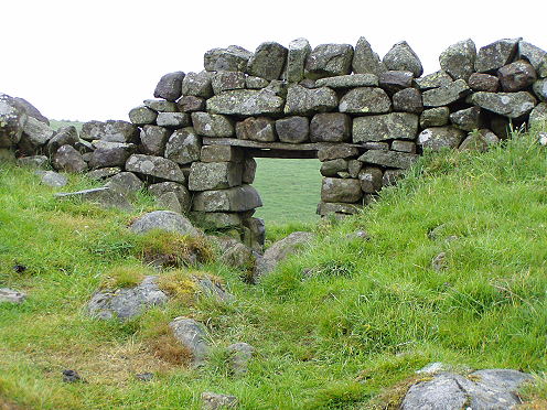
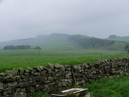
The fog is rising
And then came the crags. Admittedly, there was a note in my directions which said you could walk the lower paths at times, which did not take you up the crags, but hell, if you’re gonna do a thing you should do it right, and there wasn’t anything physically wrong with me that would prevent taking the high road – so off I went.
Lodgings: Centre of Britain Hotel
Rating: 9.9
My Room: Here
Food: 7
Distance from Trail: Damn far. In the rain. In a cab.
Saunas Used: 1
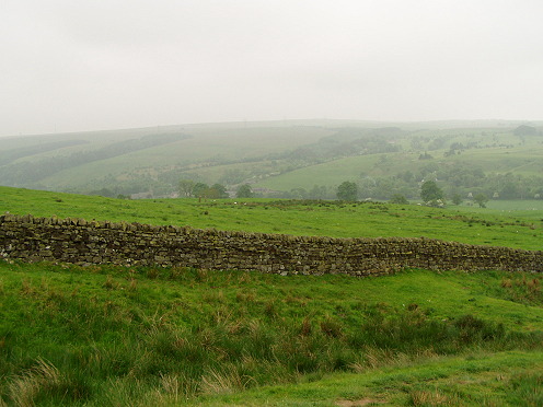
At first it was just challenging: Climbing the crags meant scaling wet (and getting wetter) rocky, muddy hillsides, getting to the top and then trying to find the right footholds to get down – even more dangerous, since falling down was always a possibility. Once I got to the bottom of the hill – and keep in mind, to your right is green grass with dry tufts, to your left the same, behind you a hill, in front a hill, and except for the wall (which in some places is only theoretical), that’s your only guide. As it rained longer, it got foggier, and the distance viewing began to close in. Once I got to the bottom of a  hill and saw a path cutting through the valley, and I wondered if I still had to climb up or follow that path (the farmers’ paths can be very confusing). A black cow stood looking annoyed at me. I began worriedly searching for an udder. Didn’t see one. It pawed. The ground. I decided I was not going to wait to find out, and went back up the hill to regroup, then found the path and kept going. While I stood at the top of the hill, I saw a second cow approach the pawing one, and they seemed annoyed at one another. I walked around both. I was – wait for it – cowed. Okay, so it wasn’t funny at the time.
Still raining. Ran into Nigel (first) then Sue and sister-in-law later. We were all fairly chipper at this point, talked a minute, kept going in our opposite directions. And then things got repetitive. Wall. Hill. Ascent. Descent. Rinse. Repeat. No point stopping because it was raining (and in the rain gear it got hot) and because the fog had rolled in to the point where my view was obscured within a few yards. That was when I got claustrophobic, and started referring more and more to the directions, which only said to keep going until you found something called a “trig point” on Winshields Crag (a.k.a. the highest point on the wall). Well, with a view as limited as mine, I worried I might miss a turnoff; plus, I’d never heard what a trig point was. I kept craning to hear traffic, as that would mean a road was ahead and I could walk that, but again – nothing. Just the sound of rain on my plastic gear. I (wait for it) hit a wall and started getting panicky, for no good reason except that I felt trapped.
At last – I mean, after what felt like ages – I spied some kind of road in the distance, to the south, and saw a sign for Winshields Camping Ground. Not a crag. I decided that was close enough, and took that turning. The main problem with the whole guessing game is that if you’re wrong, you’ve not only lost time and energy, but then have to back up and start over again – and I didn’t even know how much further I had to go. I was just guessing. Fortunately, I guessed right – the crag I was on began sloping to the south, and it kept sloping and sloping for the next 15 minutes. I saw a farm, and a road, and knew I could figure things out from there.
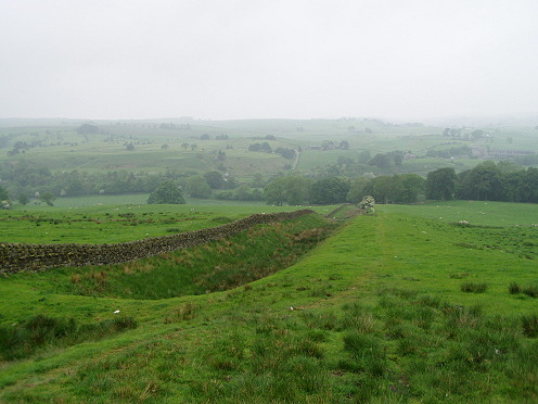
Gimme a vallum
It was not the best day, I tell you. I ended up going east at the road, looking for the Twice Brewed Inn. (A rest stop nearby is called Once Brewed, but no one ever explained why.) I was blasted and wet and gross when I got to the Inn, which was fairly bustling. I got a soda fast enough, but they took ages to get me a slice of pie – and I crabbily told them to forget it after a half hour. The cab scheduled to come get me was on time (driven by a very nice guy) who took me to Haltwhistle.
Which was the best part of the day. Haltwhistle was just adorable, and the Centre of Britain Hotel (where I was supposed to stay for two days) was fabulous. “We only have the one room left,” said owner somewhat apologetically – then took me to a room with a sloping ceiling (heated, he pointed out) and a tub with Jacuzzi and a sauna and a flat-screened TV. This was the greatest. I was so psyched. I ran out for supplies and got in just in time to miss the hail. It came down in ping-pong sized balls and made a real racket. All I could think of was: What if I was still on the crags!
Next: From best hotel to worst.
Stats
Distance: 15.71 km
Steps: 26,186
Time Walked: 4:17:05
Speed: 3.66 km/hr
Rate: 101 steps/minute
[paypal-donation]
